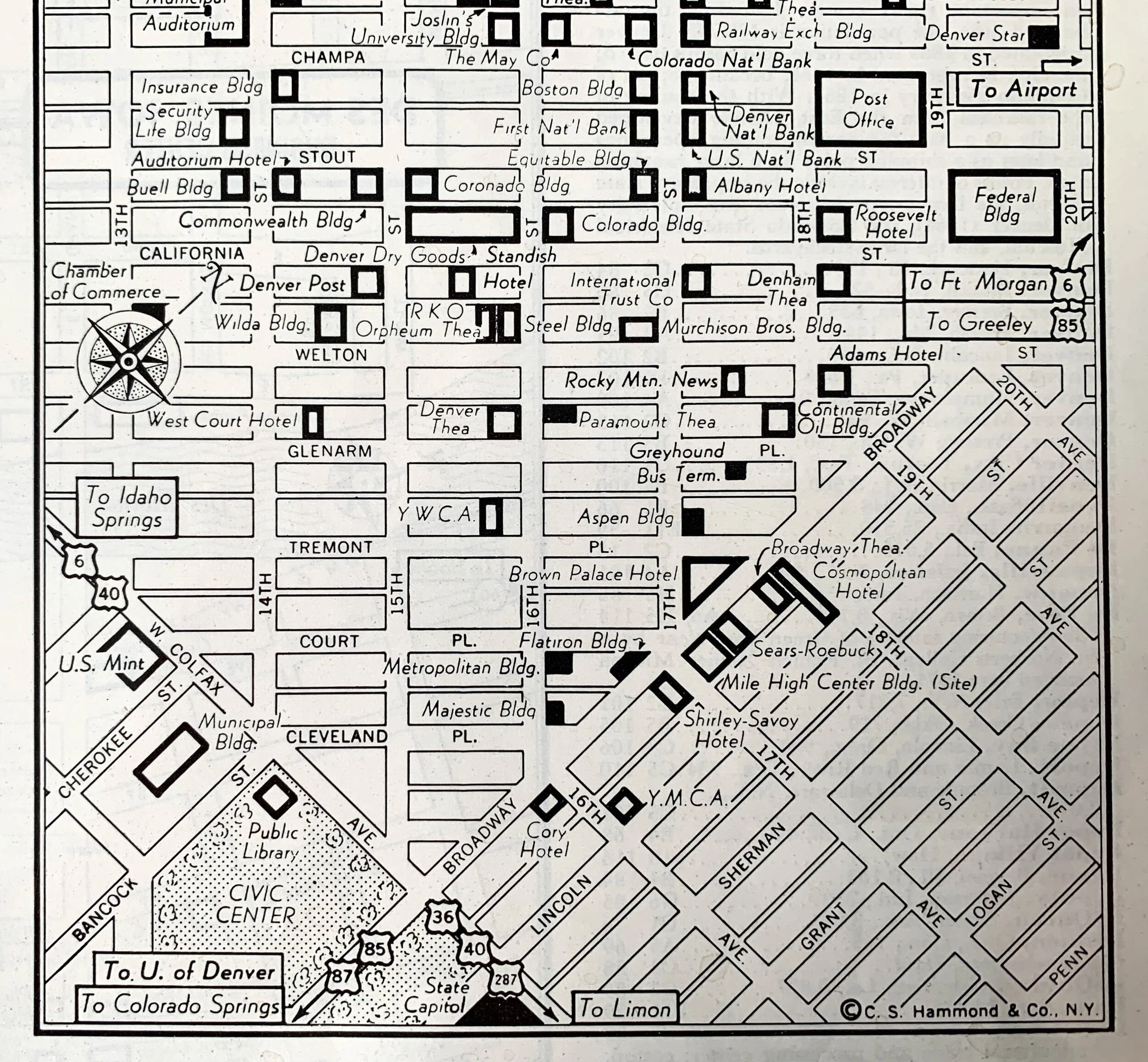
Map of 1950's Denver Business Center
Map of 1950's Denver Business Center
$42.00
Original black and white page and detailed street map of Denver, Colorado Business Center Map of Downtown Denver taken from a 1950’s World Atlas, the World Index and Gazetteer. Date is not shown on the map. (Approximate 1954 Atlas), Map shows detailed street names and business names such as Brown Palace, Sears-Roebuck, YMCA, Denver Dry Goods, Rocky Mountain News, and Post Office. You can frame the page as is or cut it down to only show the Denver map. Reverse side shows a map of Dayton, Ohio Business Center also from the 1950's. Whole page is approx: 11" x 14". Denver map is 8.25" x 4.75".


